July 27th 2024
Distance: 20.3km Round Trip Elevation: 1033m
This is one of my favorite hikes. It is located in the Highwood area, near the elbow lake valley. The Highwood area is located past the Kananaskis winter gate making this area only accessible in summer. The valley is home to many different hikes and is absolutely stunning.
The Trailhead
Starting from Calgary make your way down the Highway 40. Pass the Peter Lougheed Provincial Park sign and the winter gate. Soon you will enter the Highwood area, there is a sign for Elbow Lake Trailhead parking. Park here. There are washrooms and garbage cans at the trailhead.
The Hike
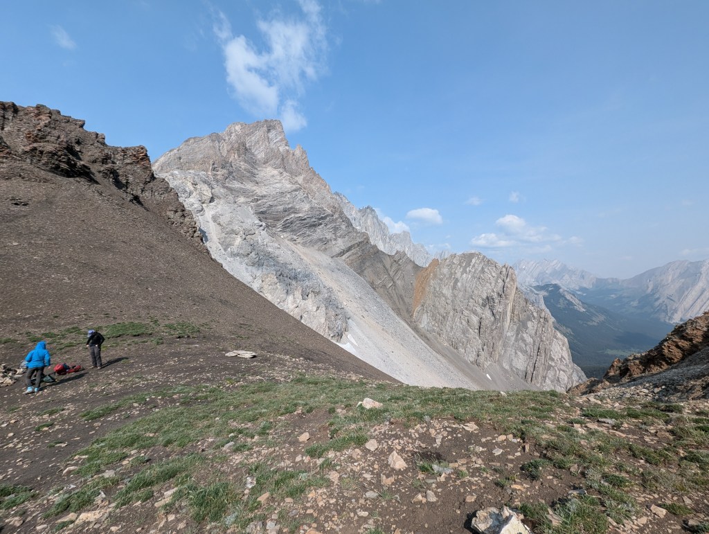
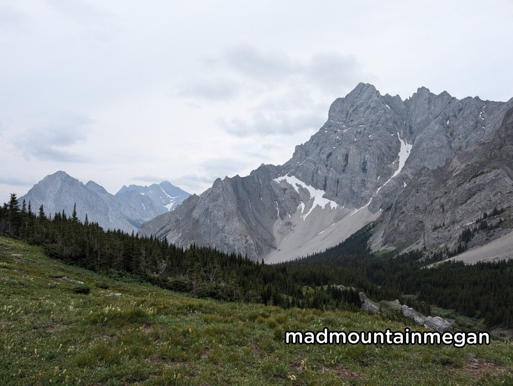
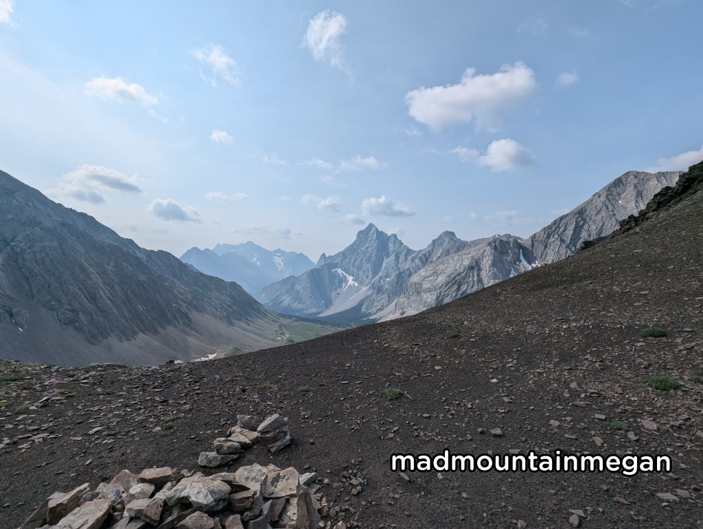
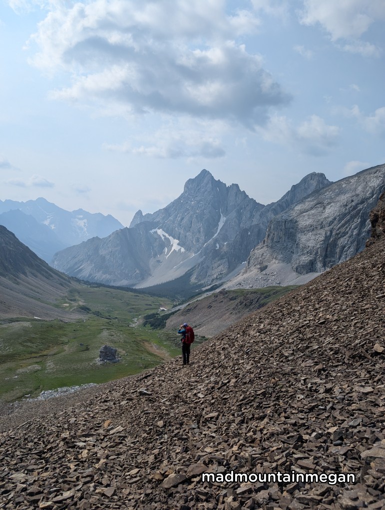
Start on the main trail heading towards Elbow Lake the hike is wide and well beaten . This section of the trail is quite busy. Soon you will reach Elbow Lake. There is a campground here and popular area for fishing. Continue on, the left side of the lake. You will soon reach a fence marking the wildland park. Continue. The path is wide and flat through the valley. The first marked path goes to Edworthy Falls. Continue. The small marked path is on the left and has a small flagging tape. We used a GPS to find the track. You will now be in a small path that’s not well beaten down. It begins by going steep down into a small creek you must cross, there were no logs so we took our shoes off. After you continue up and continue through the trees, crossing another creek but having logs to cross. The hike is not to steep as it makes its way through the trees, to the end of the valley. Once reaching the end the hike turns right and you begin to climb. Eventually you pop into the alpine. Giving you wonderful views of the mountain valley. We saw marmots, pikas and mountain goats. Continue through the rolling hills of the alpine valley. At the end you are greeted with a steep scree** climb, this is to the top of the pass, The scree are mainly beaten down not making them to horrible to climb. Near the top you will reach a steep section with some slippery dirt. It does not last long. At the top you have amazing views of the valley you just climbed and the valley on the other side.
Side Notes
- The parking lot is in Kananaskis so you will need a pass. Buy online.
- There is no cell service. The last stop for gas/food is at Fortress Gas Station.
- The turn off for the trail is not marked, use a reliable GPS track or map.
- There is a small creek crossing.
- Once you leave the main trail, there are not to many people.
- Scree: loose rocks on a steep mountain slope.

Leave a comment