May 2024
Distance: 6.7km Elevation: 525m
This trail is steep at first but then pleasant. I enjoyed how short it was. We don’t often come to this area either.
Trail Head
From Turner Valley follow the 546, past the sheep river area, turn right for Blue Rock Campground, parking is on the left.
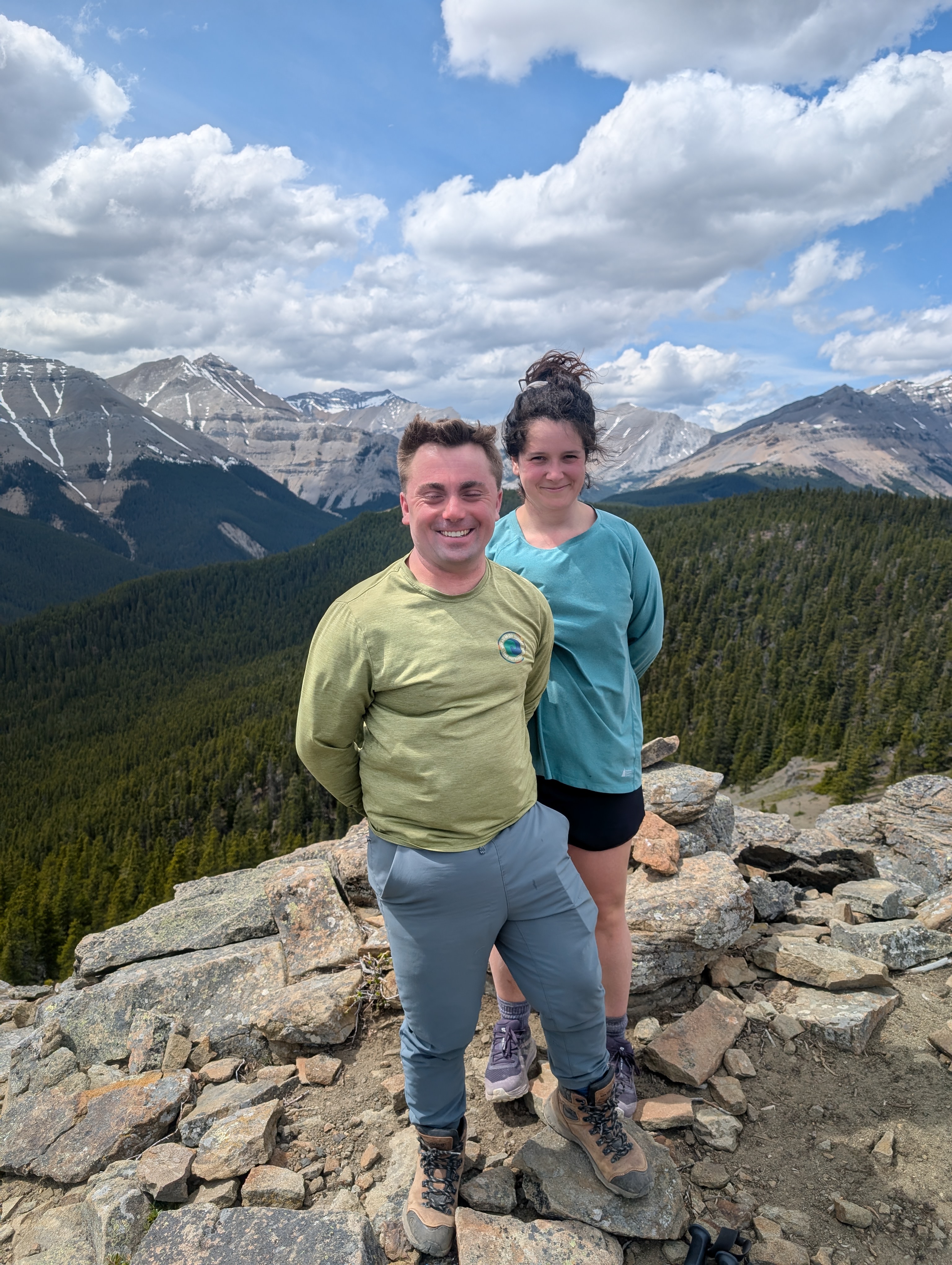
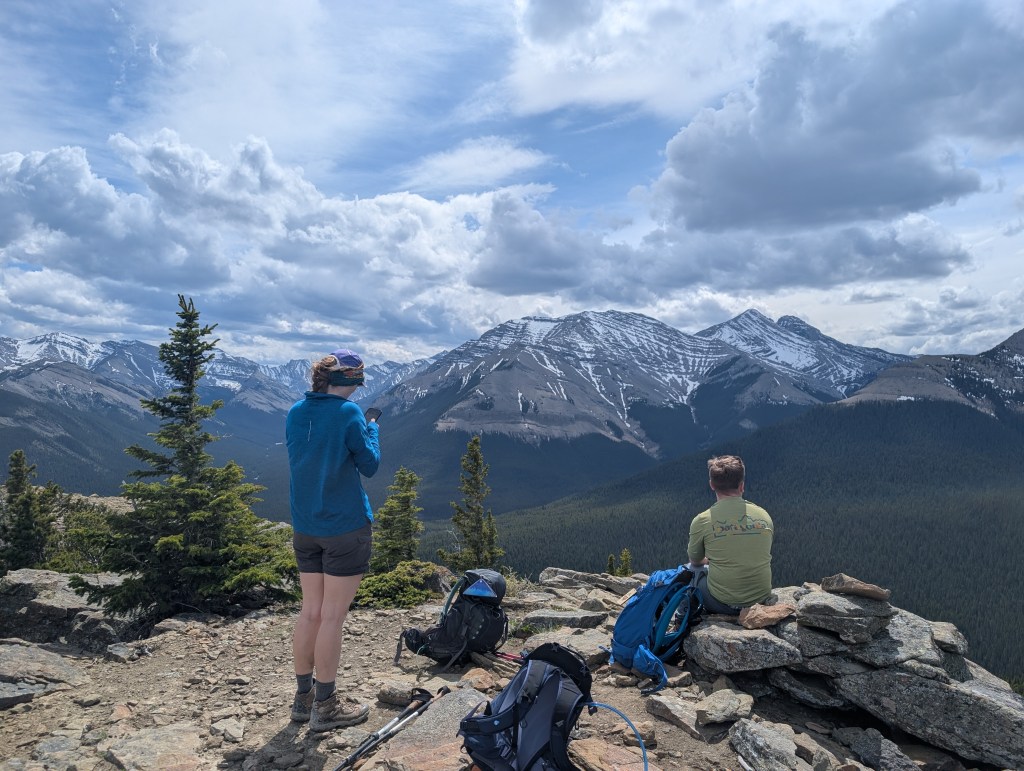
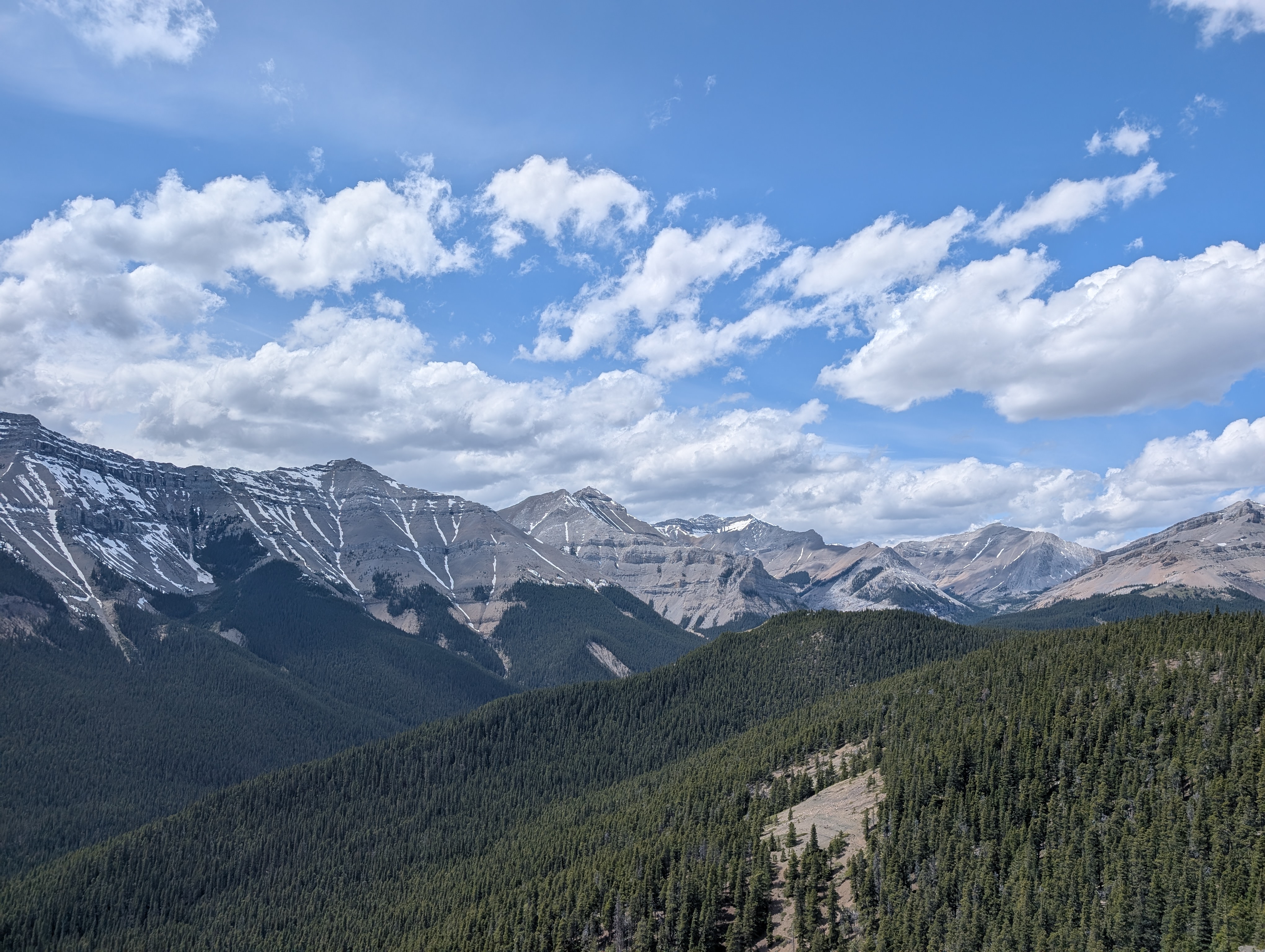
The Trail
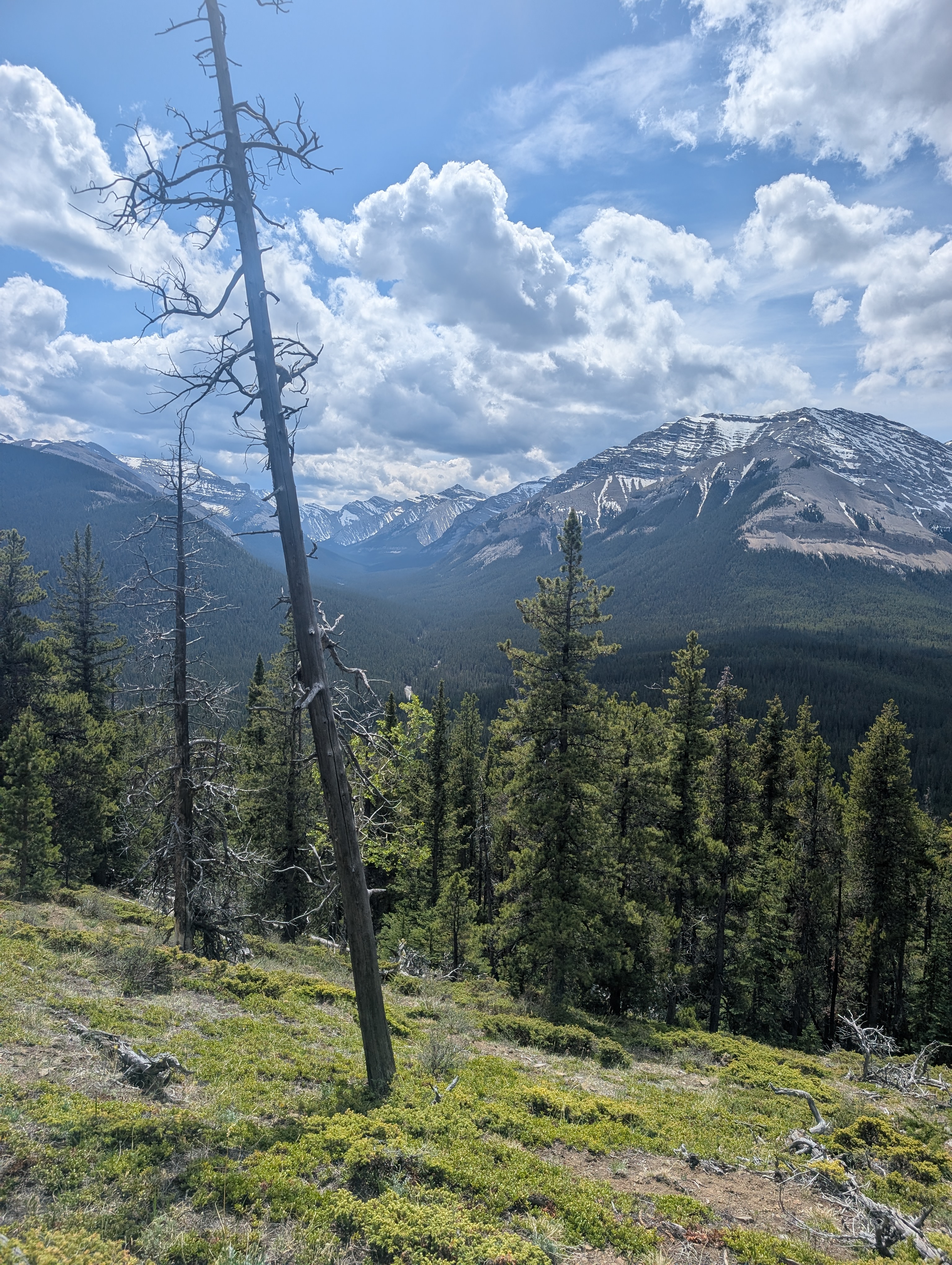
Start across the grassy meadow and across the campground road. The you will see a small trail beyond one of the campsites. Soon this forested path will take you to a large grassy hill. We found it difficult to find the trail but were able to find it again once at the top. This lead up through the forest again until finally you reach the first view point. We then continued to the right of the viewpoint on a small path. This path led us again through the forest until we reached the knob and were able to traverse the open rocky area with ease. Return the way you came.

Side Notes
- The road is closed from December to May. Check to see if it is open prior to going.
- This area has lots of ticks in the spring, we even had one bite, be careful or go later in the summer.
- The path is often hard to follow, ensure to have a map or GPS. I use Gaia.

Leave a comment