September 23 2025
Distance: Cirque: 4.3 km Peak: 1.1 km. Elevation: Cirque: 377 m Peak: 361 m

The Trailhead
Drive Highway 40 past the Highwood Pass parking lot. You will see a small road on the left hand side, that leads to a dirt parking lot. There are even outhouses now. No garbage cans though.
The Hike
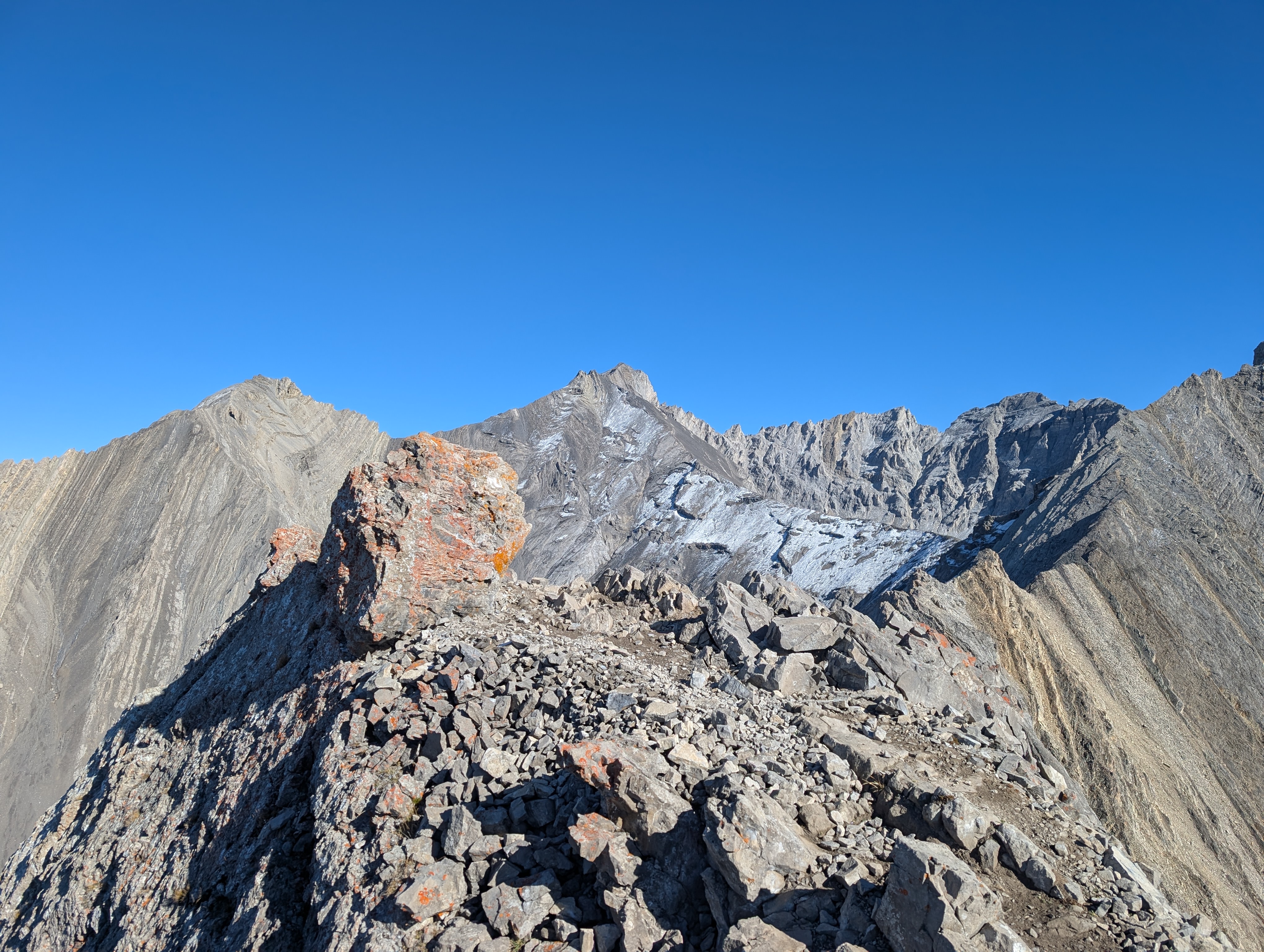
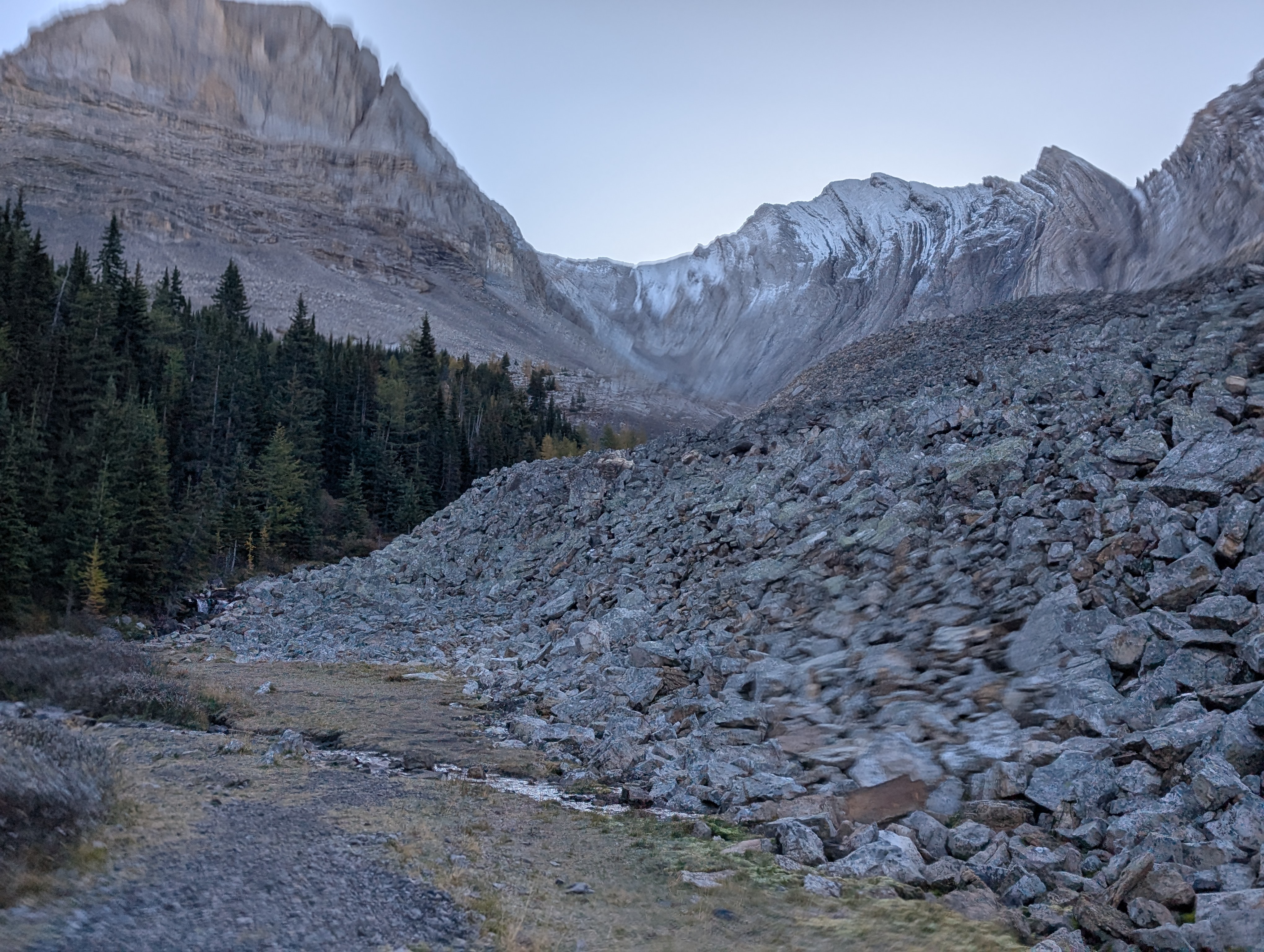
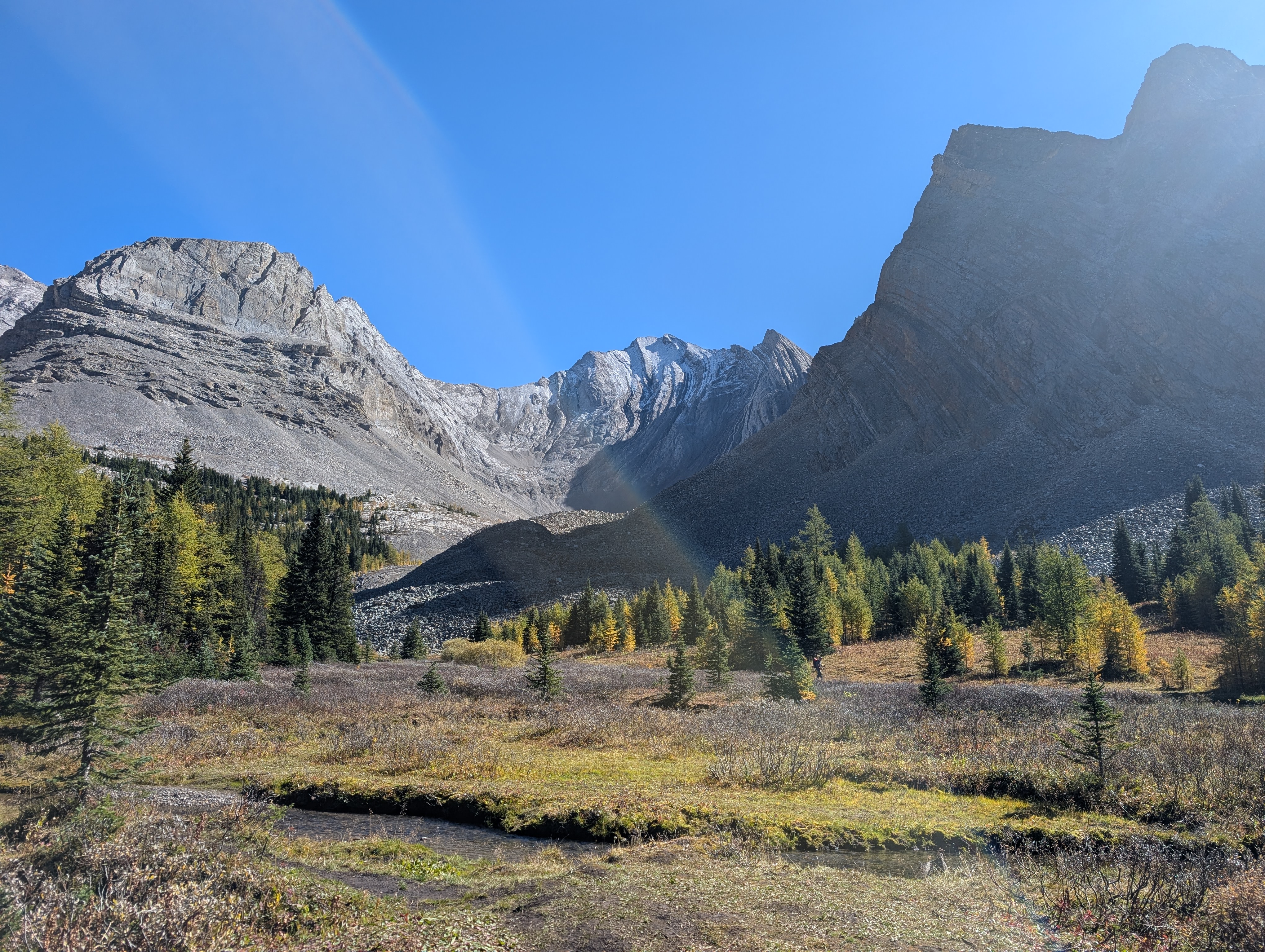
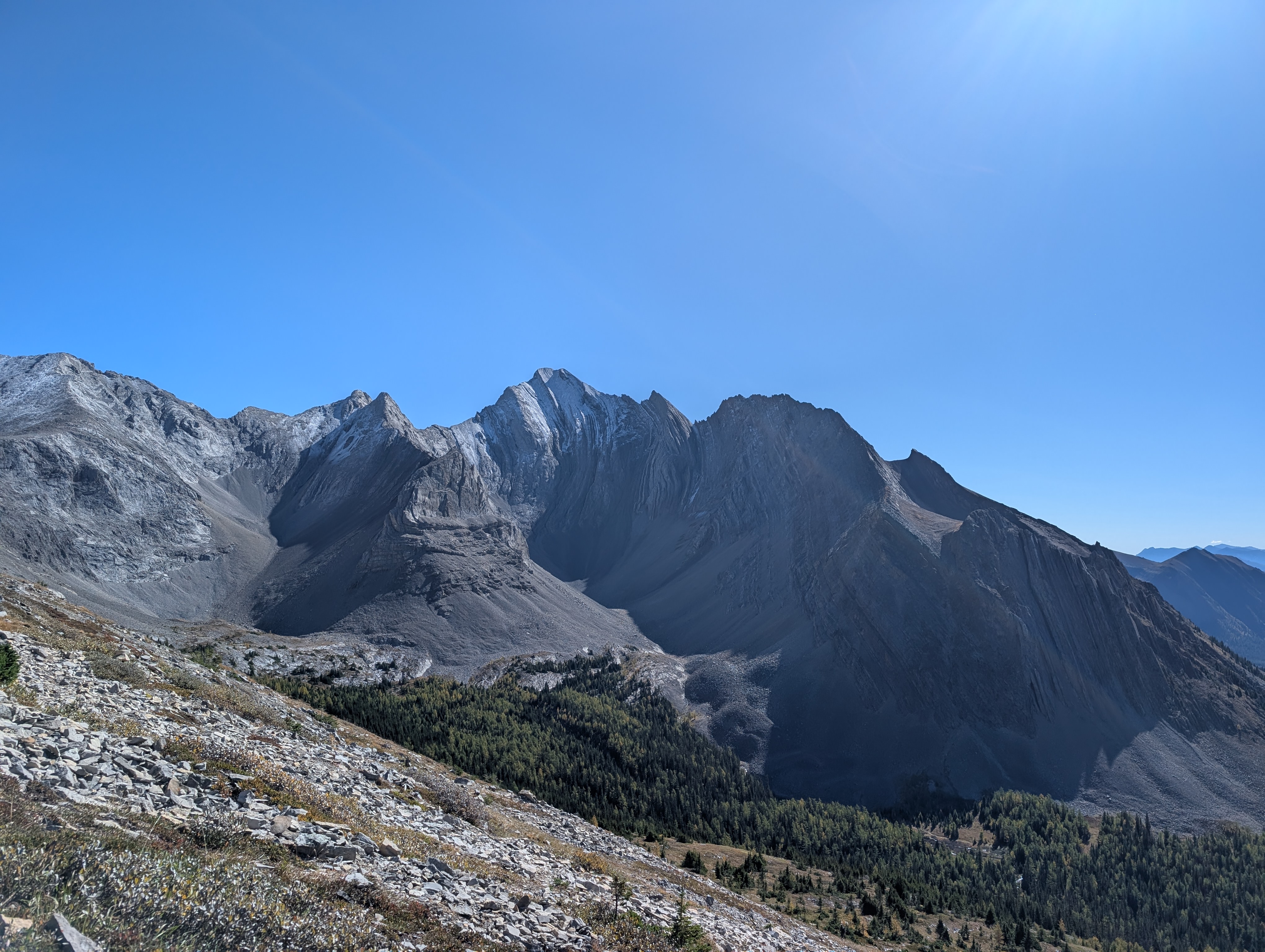
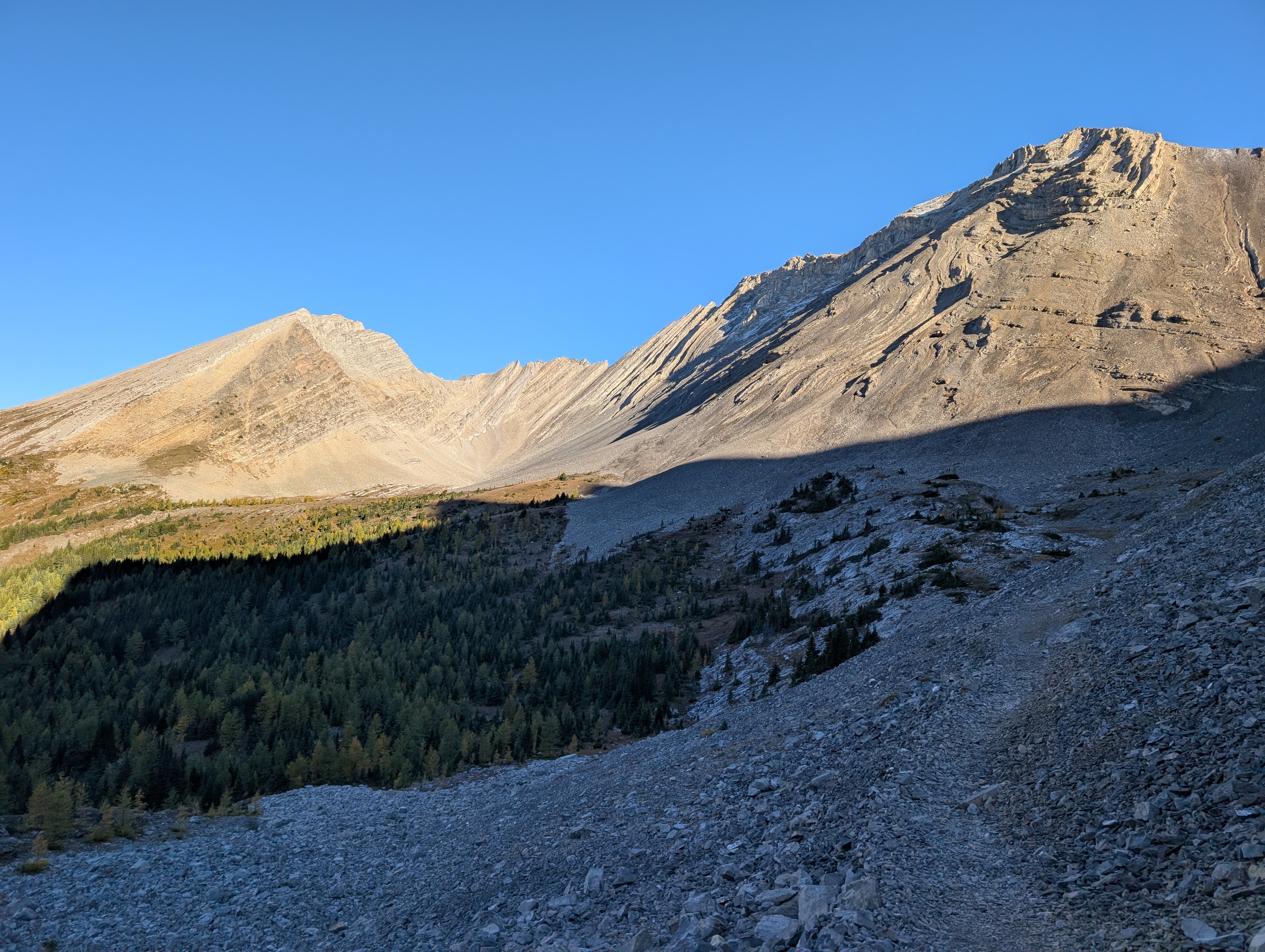
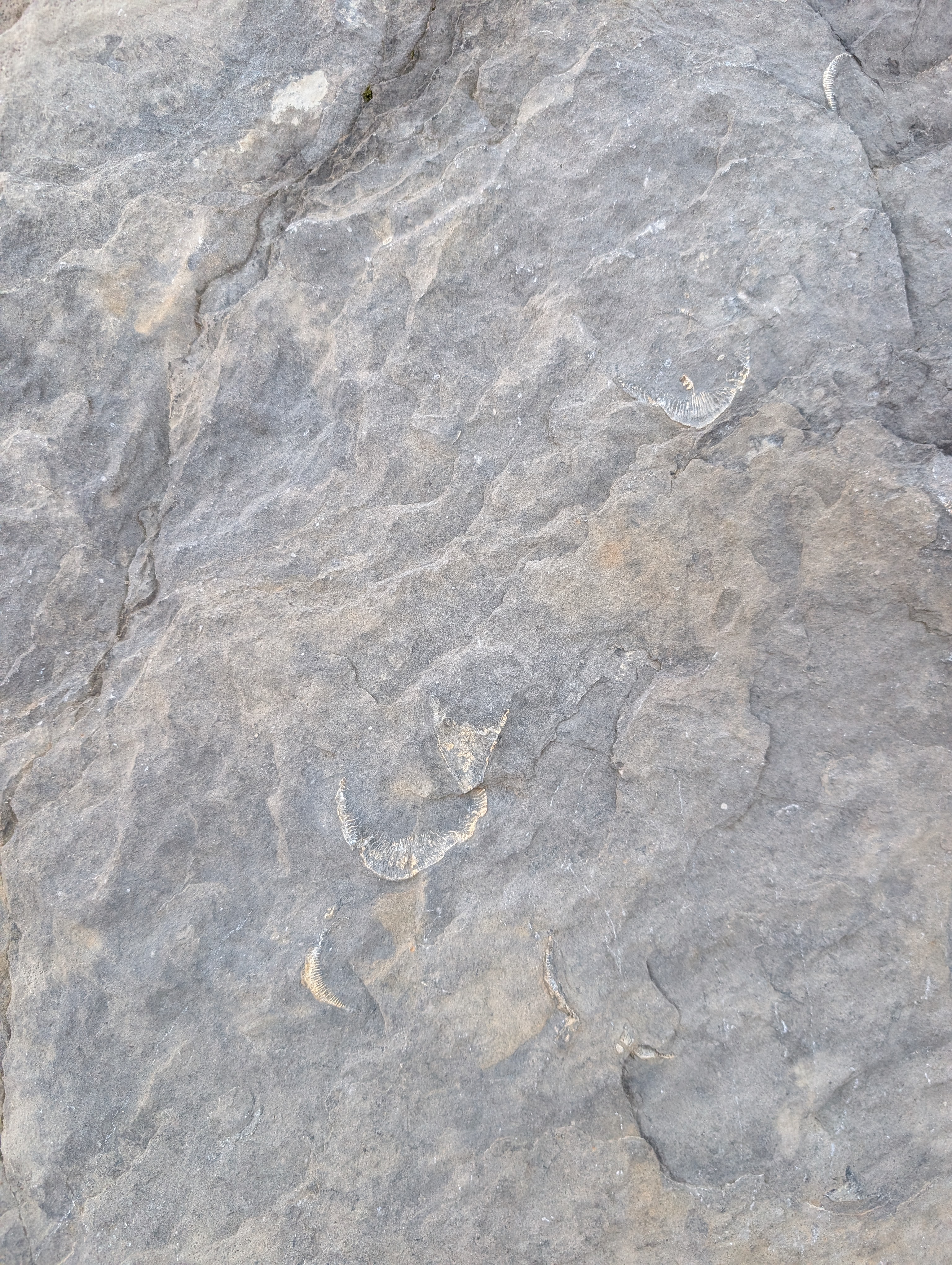
Most people choose to do the cirque clockwise because they get the steep part over with first. However we opted to do it counter clockwise in order to gradually gain elevation for the peak. The cirques trail is hard to follow and there are many paths. We often had to look at our gps. You quickly get high up in the alpine, and are able to see lots of larches. We also saw some fossilized coral in the shale rock. The trail to the peak is moderate. We then turned up towards the peak. This part is steep but short. The path is easy to follow. The path is mainly dirt but has some loose scree. I would consider it very light scrambling with no exposure. On the way down the dirt path is very steep and slippery.
Side Notes
- There is no cell service in this area.
- Parking during larch season (Sept-Oct) can be limited.
- Bring a good GPS map.
- If doing the Cirque only go clockwise as its easier to go up the steep part.

Leave a comment