
August 22nd 2024
Distance: 11.2km Approximately Round Trip Elevation: 200m Approximately
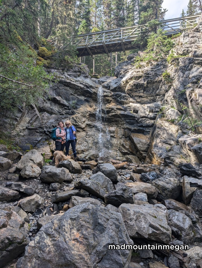
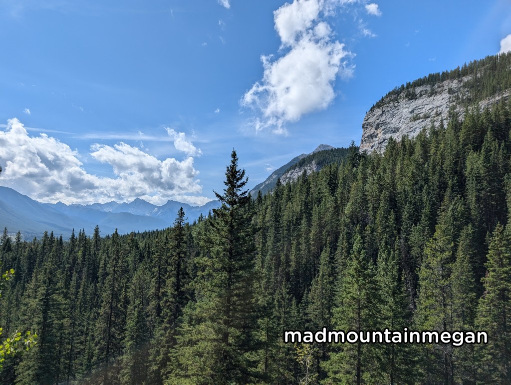
This is a short and sweet hike, that is flat and easy. The waterfall at this time of year was really nothing much and maybe even disappears on dry years. We really needed something easy and short for this day. The hike is technically apart of the Jewell Pass hike and the waterfall is not marked, I have just seen it there previously. You do get lovely views of Barrier Lake as you make your way to the Jewell pass hike.

The Trailhead
Heading from Calgary make your way to the Highway 40. Turn right at the Barrier Dam parking lot sign. The parking lot has washrooms and garbage bins.
The Hike
Starting from the parking lot you will make your way across the dam, this section is flat and rocky. You will then reach the shore and reach a sign. Turn left heading towards Jewell pass. The hike is flat and open and provides views of the lake and surrounding mountains. Eventually you will reach another sign for Jewell Pass, turn right here, head up the gentle slope. You then will go down and meet a creek, this sometimes has water and sometimes it does not. There is a bridge to cross. Follow along the creek bed you will turn a corner and see the small waterfall. This is it.
Side notes
- This hike is in Kananaskis, buy a pass online.
- The first half of this trail is on a shared biking trail, be aware.
- This is an official trail with signs posted.
- The parking lot is at a popular “beach” area.
- It is close to the Stoney Nakoda Tim Hortons and Gas Bar.

Leave a comment