June 24th 2024
Distance: 7.7km Elevation: 734m
South Lawson is steep and moderate distance but is enjoyable for the view at the top. Most of the hike is in the trees however near the peak it opens up. The snow on this hike melts early making it good for shoulder season, people have done it in the winter, some parts may be a little sketchy but would probably be fine with microspikes.

The Trailhead
Make your way to Highway 40, follow until you reach the winter gate at Peter Lougheed Provinical Park. Turn right. Then turn right at signs for the Smith Dorrian trail. Just around the curve, still on pavement there are 2 unmarked parking lots on the right and left. Park at either one.

The hike
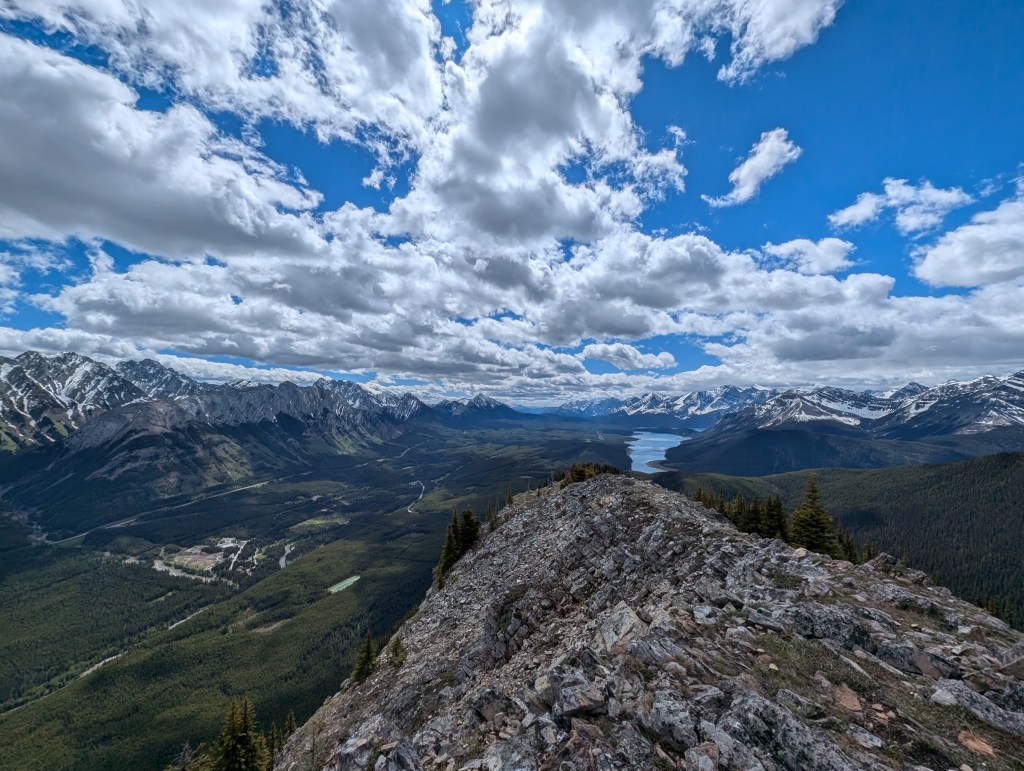
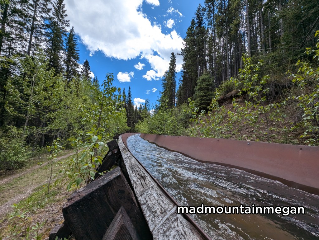
The hike starts out flat following a creek. You will pass by a big metal structure that diverts the creek, which is very interesting. You then come to a dead end, go straight through the trees over the creek. The hike makes its way up steadily through the trees. The path is wide and well beaten. You will reach the top of a hill where it flattens before going up again. You then come to a bouldered area that you cross before heading up the boulders to the top. The top is slightly knife edged with not much room. The views of the Kananaskis lakes are stunning.
Side Notes
- This hike is in Kananaskis you will need a pass, buy online.
- There is no cell service, plan ahead.
- The gas station at Fortress and Boulton Creek campground have ice cream.
- There are Trans Alta structures on this hike, do not touch their stuff.

Leave a comment