
October 7th 2024
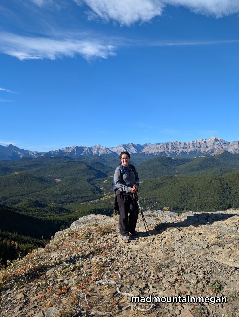
Distance: 4.2km Elevation: 329m
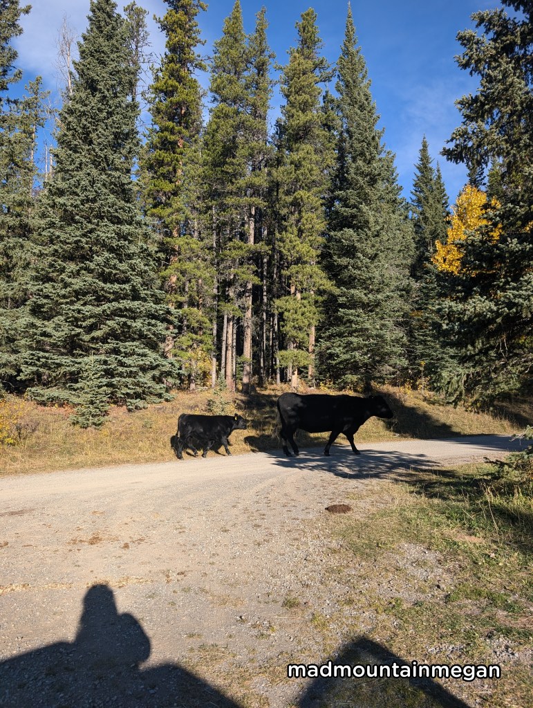
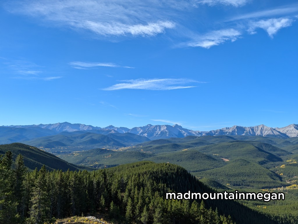
This hike is about 1:30 min drive from Calgary. The last half is on a dirt road. The hike is short and sweet. This also means it is short and steep. It is a well laid out path for lovely views of the mountains at the top. As it is not a popular trail we did not see any humans, but we did see a lot of cattle.
The Trailhead
Find your way to Turner Valley, head west on Highway 546 turn right on the Gorge Creek Road. This gravel road is narrow with many cows. There is no service. There is a small parking lot at the end of the road to the left. The parking lot has toilets.
The Hike
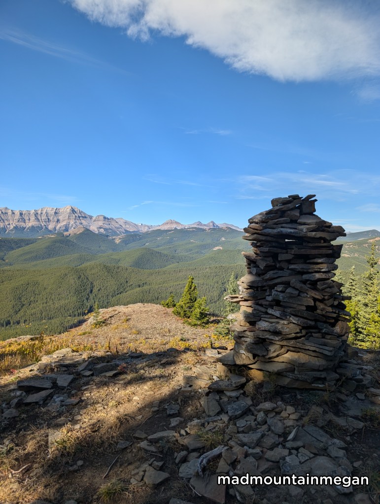
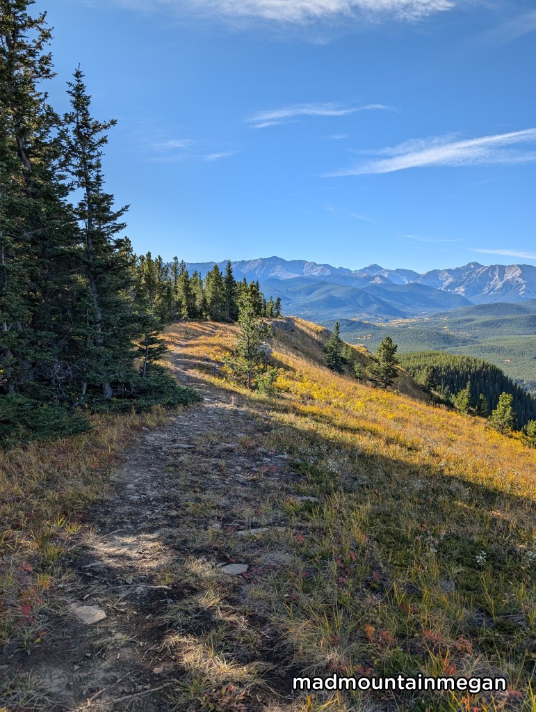
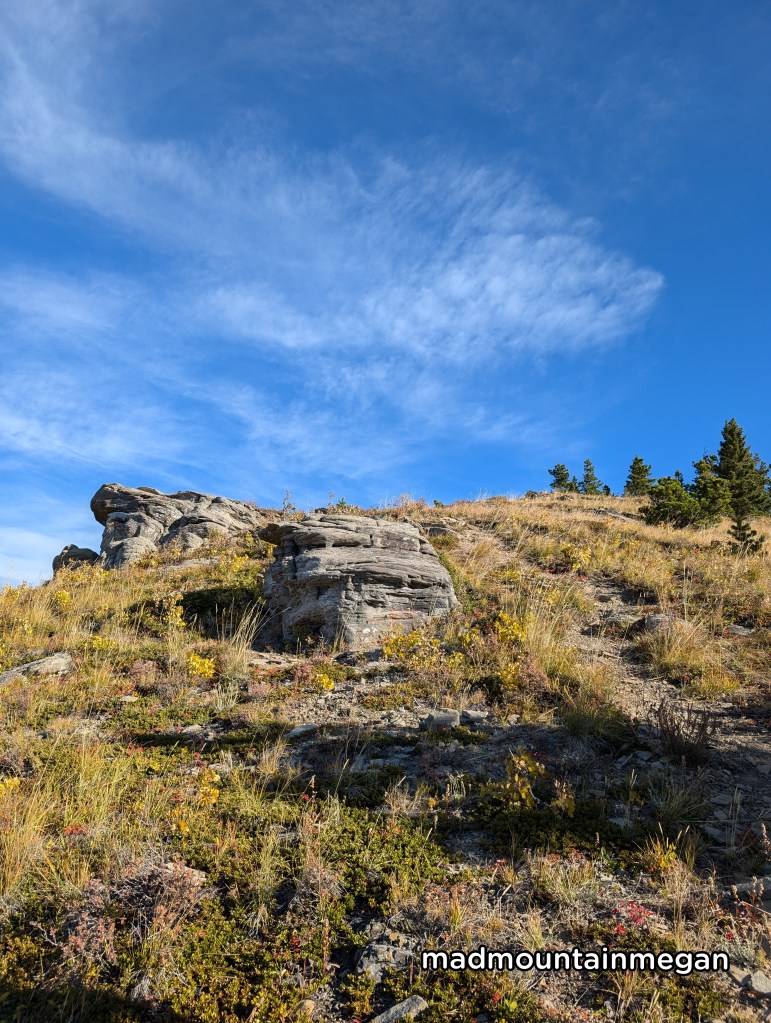
Head towards the road, turn right. On your left you will see a meadow, head through this meadow to the left hand side this is your path. There are pink flagging tape to guide you. The path is well laid out. However it is a steady steep climb through the trees. Soon you reach the top of the hill and turn left. When you start to see some large rocks you are near the top of the mountain. There is a large pile of rocks, this is where we stopped.

Side Notes
- This hike is past the winter gate and not suitable for winter.
- There are many cows on the road in this area be mindful.
- There is no cell service.
- Turner Valley is close, which is a nice place to stop for food.

Leave a comment